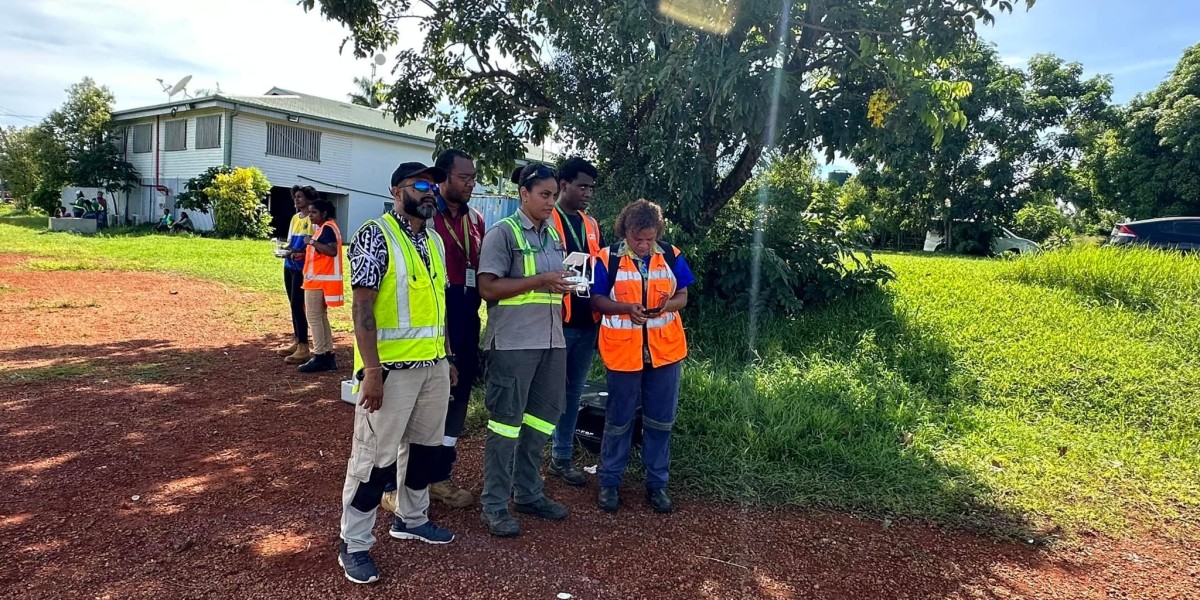
Drone technology has revolutionised various sectors in recent years, and Fiji and the South Pacific are no exception. Drone mapping and surveying is now providing speed, efficiency, and accuracy far beyond traditional methods. Drone Works Consultancy is a reputable name in the field, offering advanced drone services in Fiji and the South Pacific.
Drone Mapping and Surveying: What is it and why is it important?
Drone mapping and surveying uses modern drone technology to collect high-precision data of land, buildings, vegetation, and other structures. Compared to traditional survey techniques, this process:
- Works faster: Large areas can be surveyed in a matter of hours.
- Offers higher accuracy: Data collection with centimetre-level accuracy.
- Cost-effective: Does not require heavy machinery and human labour.
- Safe: Minimises human exposure in difficult geographic areas.
Applications of Drone Mapping and Surveying in Fiji and the South Pacific
Drone mapping and surveying has many uses, which are highly useful for the special geography and economic needs of Fiji and the South Pacific.
Real Estate and Construction:
- Determining land boundaries.
- Site planning for building construction.
- Monitoring site progress.
Environmental Conservation:
- Assessing deforestation.
- Monitoring marine areas and coastal ecosystems.
Agriculture:
- Evaluating crop health.
- Improving the efficiency of irrigation systems.
Tourism and Real Estate:
- Capturing beautiful aerial views.
- Showcasing potential projects and sites.
Disaster Management:
- Damage assessment following floods, cyclones or other natural disasters.
- Providing accurate and fast data for relief efforts.
Drone Works Consultancy: Your trusted partner for services
Drone Works Consultancy is a premium service provider for drone mapping and surveying in Fiji and the South Pacific. We not only have advanced technology, but also a team of trained and experienced professionals to ensure that every project is executed in the best possible manner.
Features of our services:
- Advanced drones and software: Use of the latest drone and mapping software.
- CAAF-authorized training: All our operators are certified by CAAF.
- Customized solutions: Services tailored to the specific needs of your project.
- Speed and accuracy: Delivery of timely and high-accuracy data.
Our approach:
Our main objective is to provide satisfaction to our clients through the latest technology and best services.
Why are we the best?
- Local expertise: Deep understanding of the geography and environment of Fiji and the South Pacific.
- Extensive experience: Success in a variety of projects, such as agriculture, construction, and environmental studies.
- Excellent customer service: Guiding clients through every stage of the project.
- Commitment to the environment: We ensure sustainability and transparency in our work.
Conclusion
Drone mapping and surveying has given a new direction to regional development in Fiji and the South Pacific. This technology not only provides accuracy and efficiency, but also shows responsibility towards the environment. With Drone Works Consultancy, you can make the most of this technology.
If you are looking for drone mapping and surveying services in Fiji or the South Pacific, contact Drone Works Consultancy today. Our expert team looks forward to making your every project a success.