

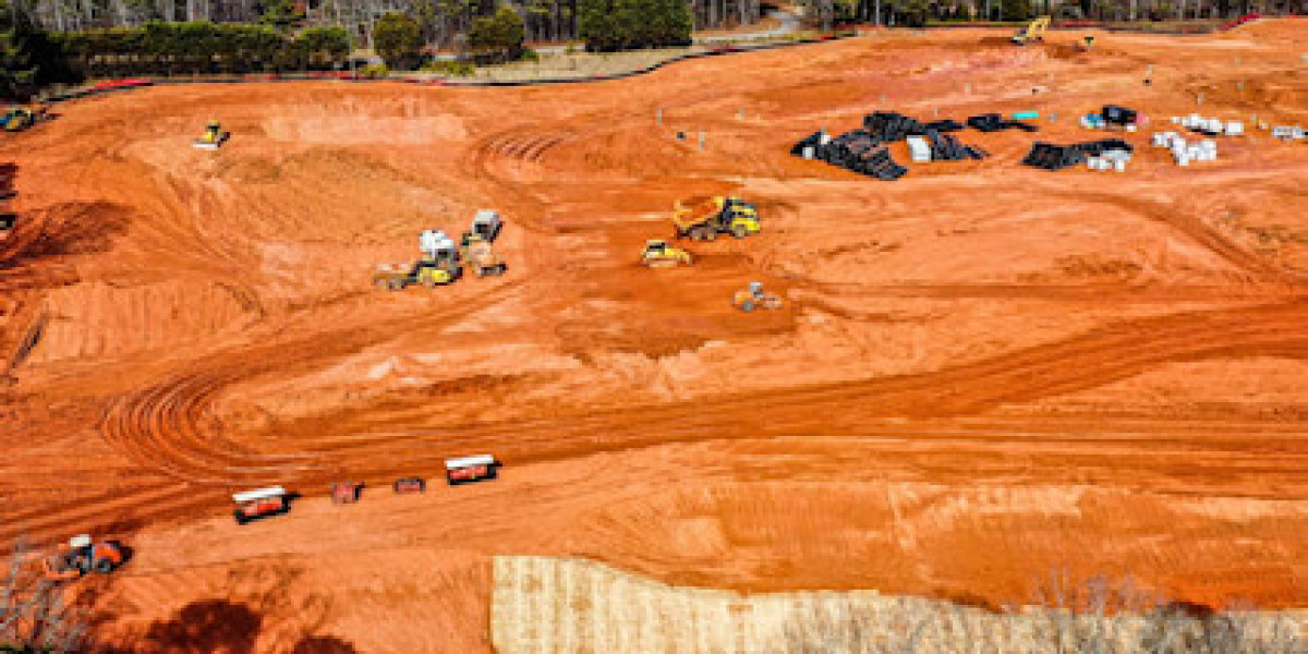
How to Inspect and Map Rough Terrains and Landscapes? | #gis mapping Georgia # digital terrain models # digital terrain
Like


Comment
Share


